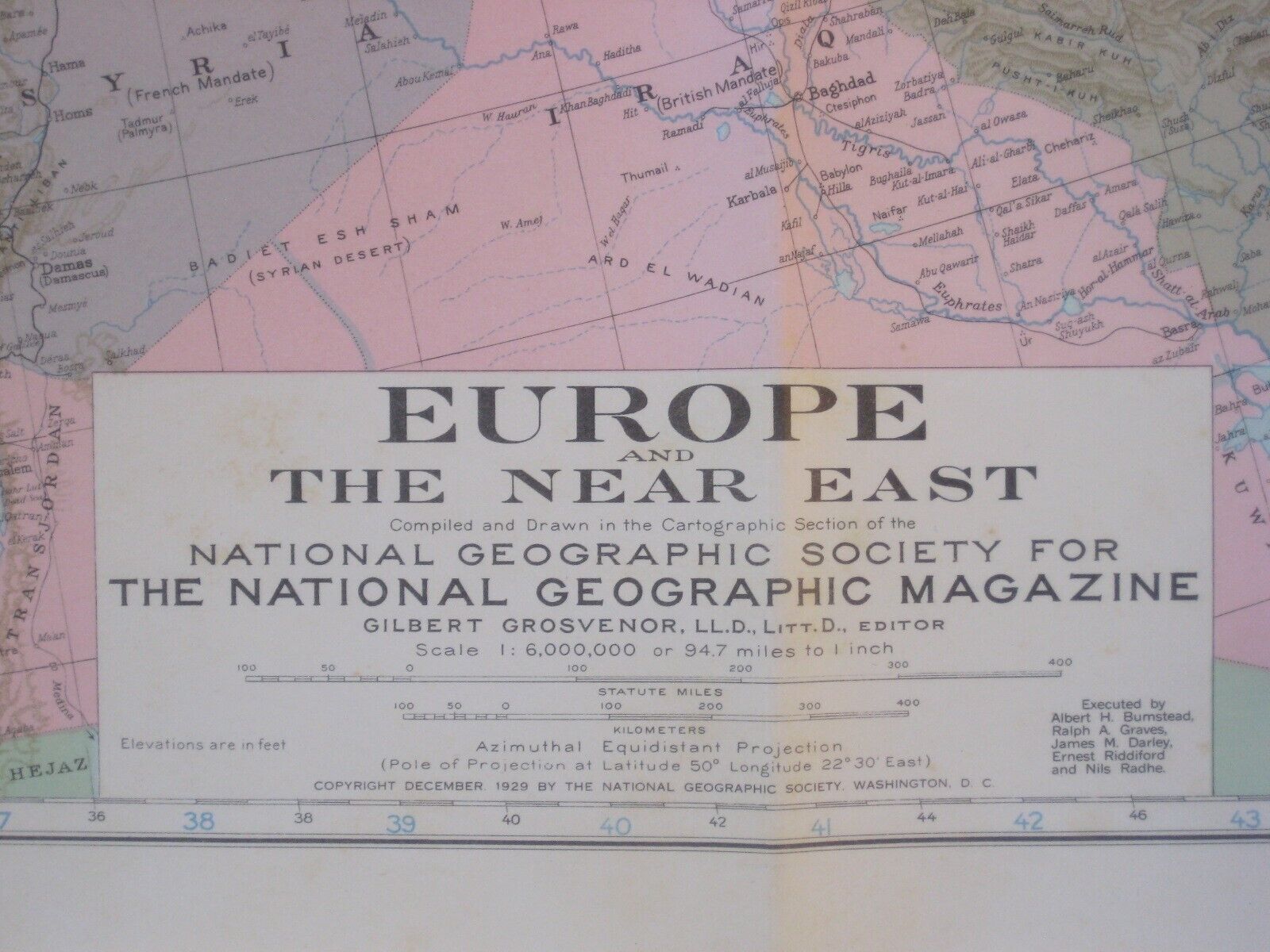
Origijnal 1929 Map EUROPE & NEAR EAST Palestine Germany Czechoslovakia Lithuania For Sale

When you click on links to various merchants on this site and make a purchase, this can result in this site earning a commission. Affiliate programs and affiliations include, but are not limited to, the eBay Partner Network.

Origijnal 1929 Map EUROPE & NEAR EAST Palestine Germany Czechoslovakia Lithuania:
$14.99
Large-formatfold-out 1929 map of Europe and the Near East,printed more than 90 years ago. - This map is printed in colorand opens toa generous 86.3 x 99 cm [34\" x 39\"]. It is drawn on a scale of1:6,000,000.
- The coverage area extends from Iceland to the PersianGulf, and there is an inset showing airways, with a note saying thatmanyof these lines are discontinued in winter months.
- The map wascompiled by the Cartographic Division of the National GeographicSociety. It was issued as a supplement to The NationalGeographic Magazine, in December1929 and is dated in the legend.
- Condition: It is in excellent condition,bright andclean, with no marks, rips, or tears. It is blankon the back, with no printingon the reverse side, and it folds to 9\" x 6¾\". Pleasesee the scans and feel free to ask any questions.
- Buy with confidence! We are always happy to combineshipping onthe purchase of multiple items — just make sure to pay for everythingat one time, not by SixBit\'s eCommerce Solution

|
Other Related Items:
Related Items:
Origijnal 1929 Map EUROPE & NEAR EAST Palestine Germany Czechoslovakia Lithuania $14.99
|