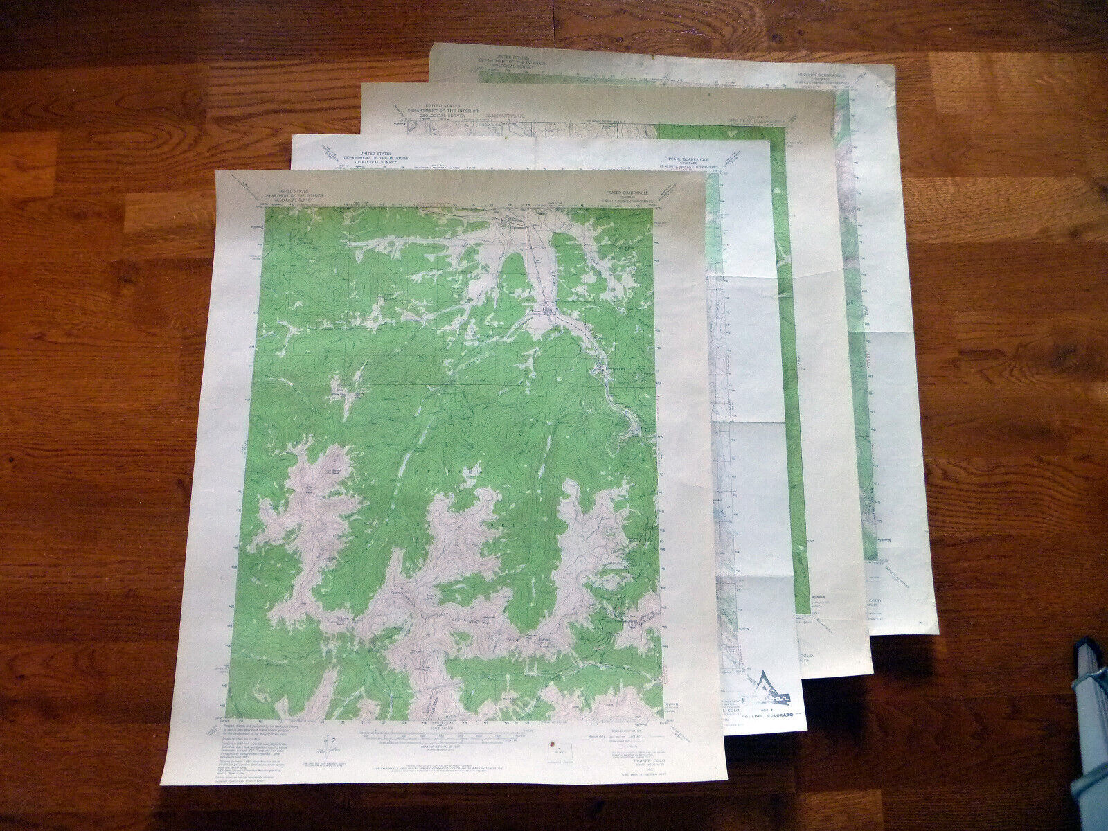
US Topograhic Maps - 8 Colorado Quadrangles 1:62,500 from 1927-1959 For Sale
When you click on links to various merchants on this site and make a purchase, this can result in this site earning a commission. Affiliate programs and affiliations include, but are not limited to, the eBay Partner Network.

US Topograhic Maps - 8 Colorado Quadrangles 1:62,500 from 1927-1959:
$29.00
My husband and I used these maps for many backpacking trips through the Colorado Rockies in the 1970\'s. They allowed us to see many beautiful areas and even hike off trail to unnamed lakes. The sizes are all 15 minute, scale 1:62,500. The maps cover these quadrangles: Mt. Powell;Mount Ethel; Glenwood Springs; Electric Peak;Pearl; Ute Peak; Minturn; FraserI\'m hoping to sell them all as one lot, but will sell individual maps at $5 each.

|
Other Related Items:
Related Items:
Vintage US Geological Survey topograhic quad maps New Hampshire 1920's to 1950's $15.00

Vintage US Geological Survey topograhic quad maps New Hampshire and Maine 1930's $10.00

Vintage US Geological Survey topograhic quad maps Massachusetts 1940's 1950's $15.00
| 


